July 22, 2018 - A Float North
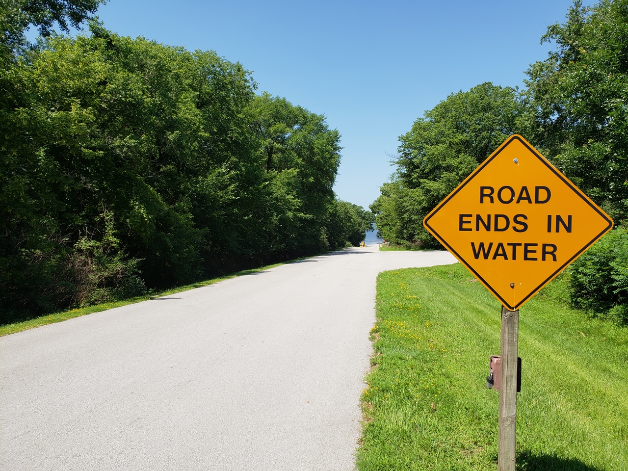 |
| Jim's favorite street sign |
On occasion, the Des Moines River receives enough water that it allows a very special journey to happen. This comes as a mixed blessing as the amount of water that allows the fun times also over-ran our sump and took out our basement, but as the saying goes, when life gives you lemons... trade them for limes and squeeze into a Corona.
It is worth mentioning here that we travel with a chart plotter, a depth finder and all the safety equipment. If you are new to the journey, find somebody to follow, or better, talk to them and tell them you are new. They may show you some interesting things along the way.
 |
| ugh. |
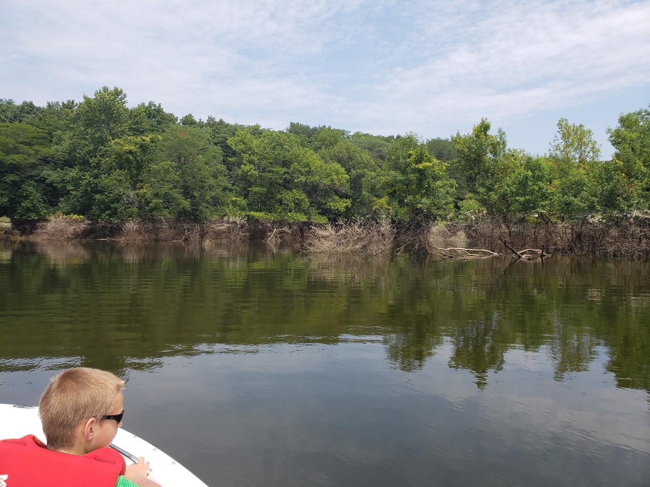
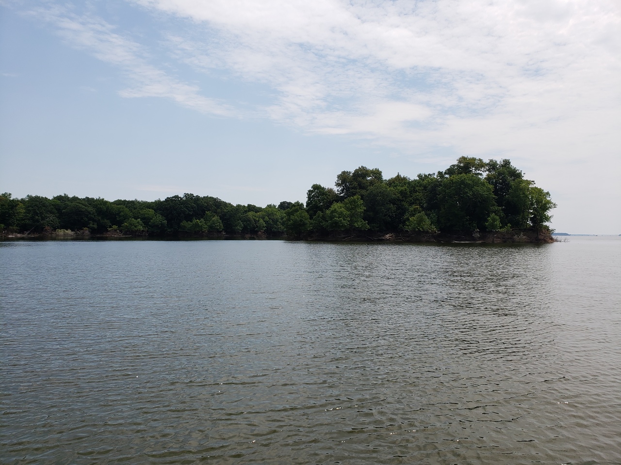
This journey started on July 22, a beautiful Sunday of sun and low 80s with a nice breeze. We launched from Cherry Glen boat ramp, which had just opened the previous Friday, also due to the high water. The water level on Saylorville Reservoir was at at 875 feet above sea level. Normal pool for the lake is 836, so this gave us and everyone else out an extra 39 feet of vertical playground. The level being this high makes our normal lake feel enormous.
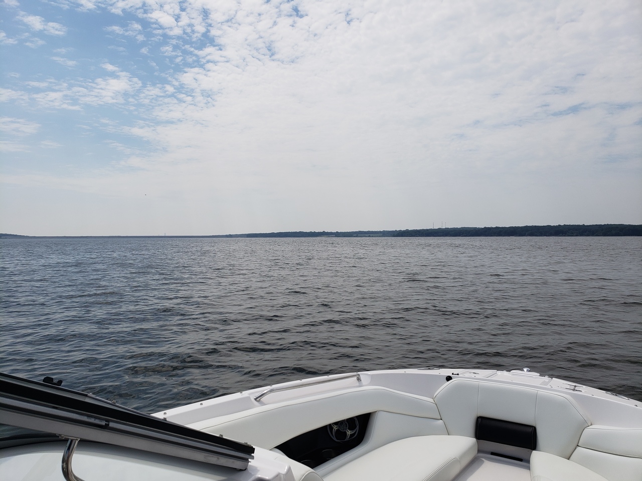 |
| bigger water |
Large coves that are normally dry open up to be explored by boat, so we did some of that to start with. If you have a kayak, you can go even further.
 | |
| Lakeview lower boat ramp parking lot is under there somewhere |
This is the area in the back of party cove:
 |
| heading to the back of the back |
 | |
| Heading out of the area behind party cove |
 |
| ... and we are back to the cove |
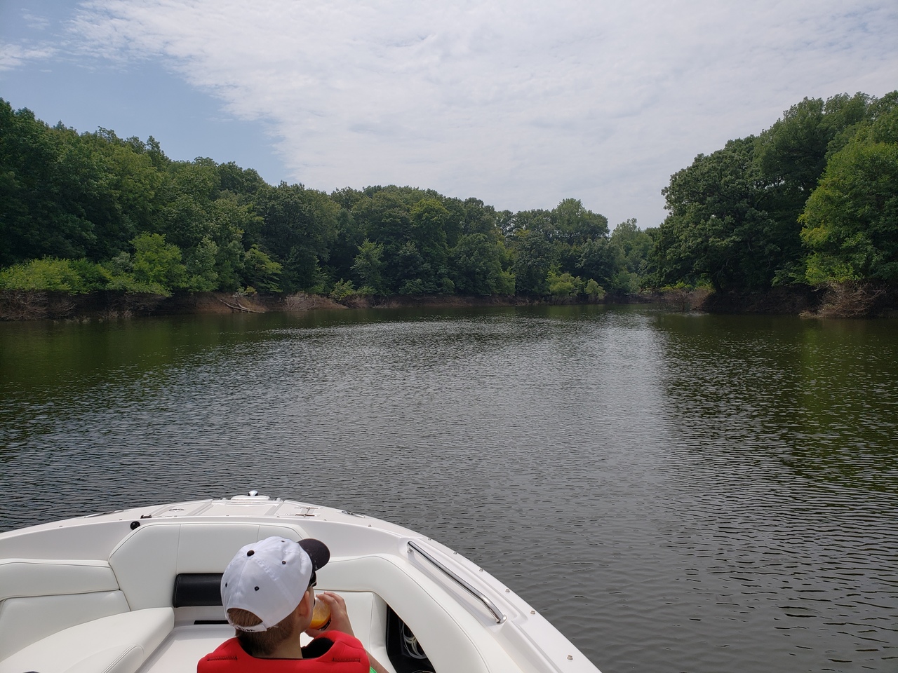
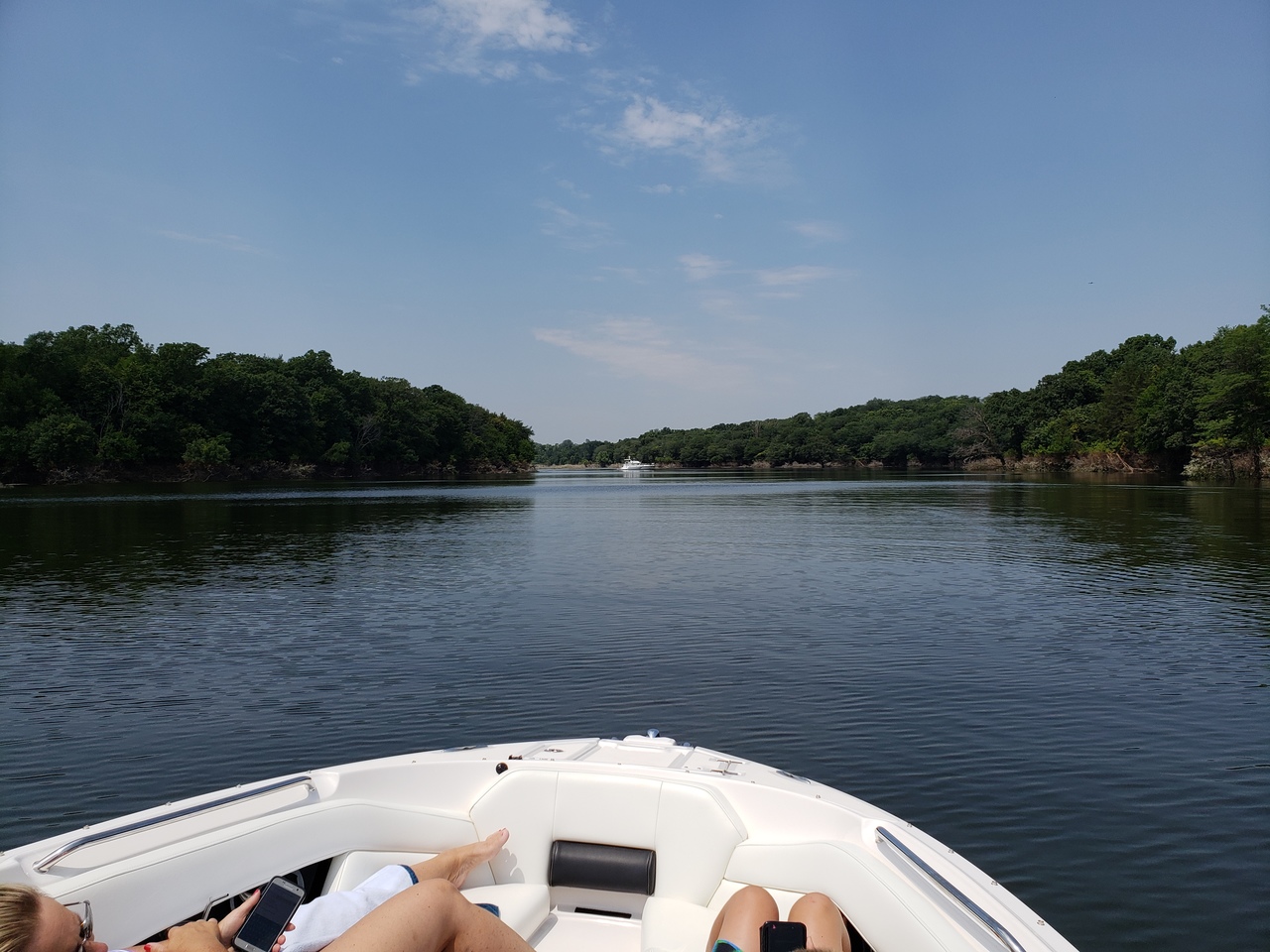
We decided to bypass the marina for this part of the trip and kept heading north. The next stop is a neat little cove just north of the mile long bridge. This area is a lot like the area behind party cove, and if you have a kayak you could go quite a ways with the water at this level.
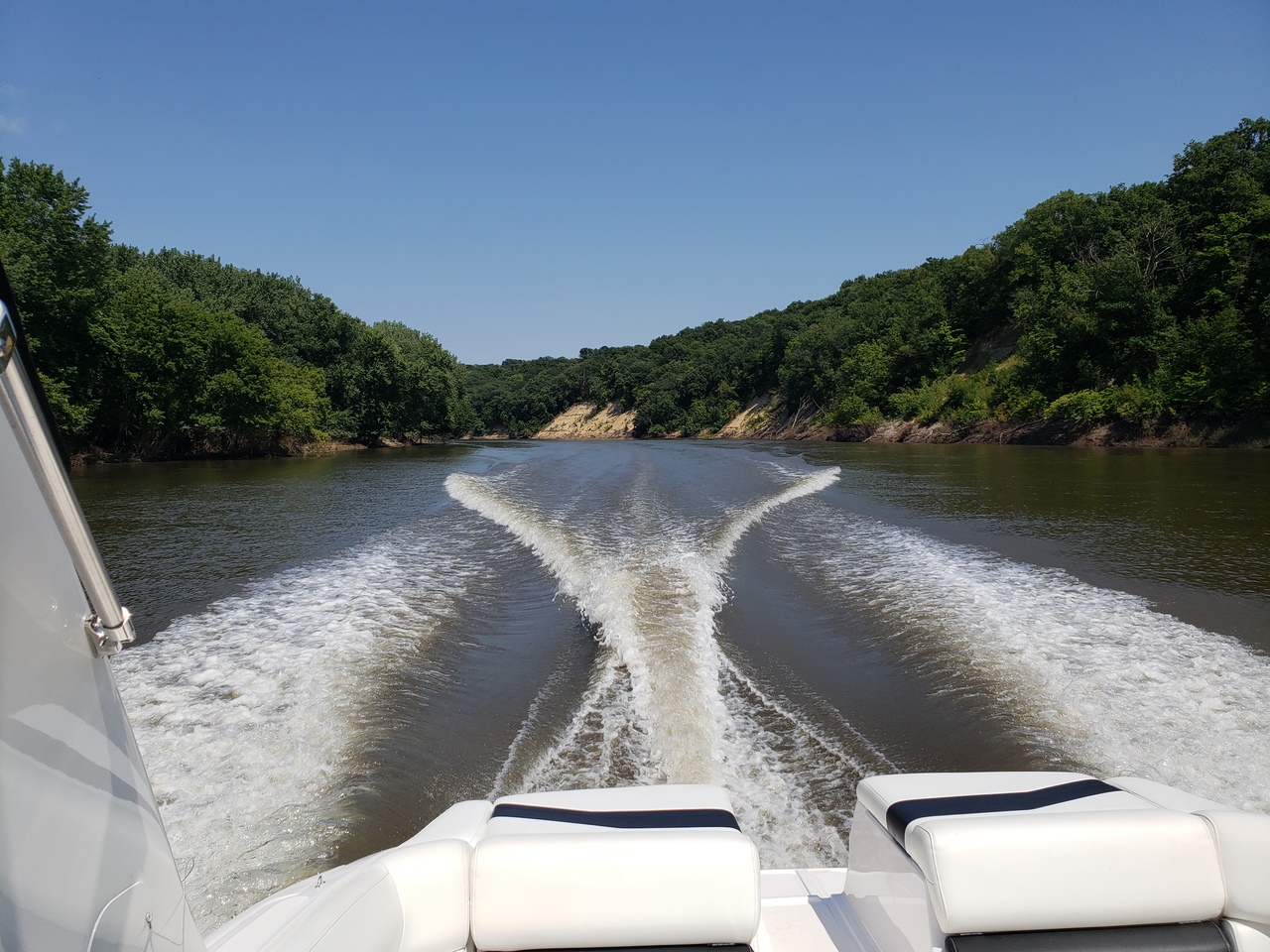
From there we turn and head... north, as there may be a pattern to this trip.
 | |
| heading north from the mile long bridge on Saylorville Reservoir |
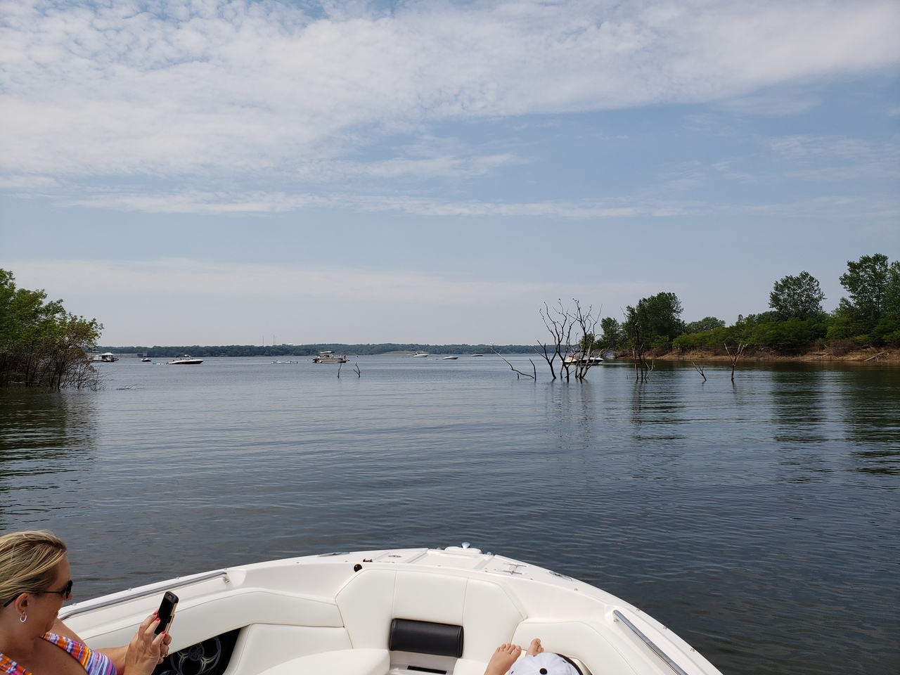
The next area to explore is a very large cove north of Polk City. The area is a favorite for cruisers and house boats when the water is high. If you are lucky enough, you even get to cruise around an island to get there.
 | |
| "Saylorville Island" |
As one heads back into this cove, or any other area where boats are at anchor, be a good sport and don't plow. No-wake is best, but keeping it on plane is better than plowing if you have enough distance from the parked boats.
 |
| some cruisers enjoying the day in the cove north of Polk City |
Back out of the cove we go, and turning... you guessed it, north!
The next point of interest that a Saylorville boater gets to see only on the rare occasion is the highway 17 bridge between Granger and Madrid.
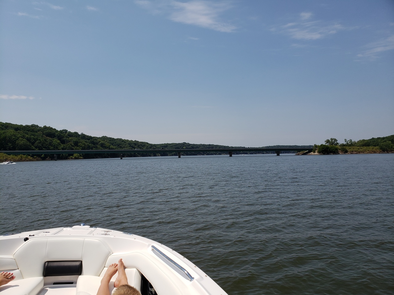 |
| highway 17 bridge |
The stretch of river from highway 17, under balls in the sky, and up to the north pooling area before the high trestle trail bridge is wide and deep. Some of the cliffs and more vertical treed banks start to show hints of the view to come. Balls in the Sky is a landmark for this trip. These are the safety balls that adorn the high-voltage power lines that cross the river north of the highway 17 bridge.
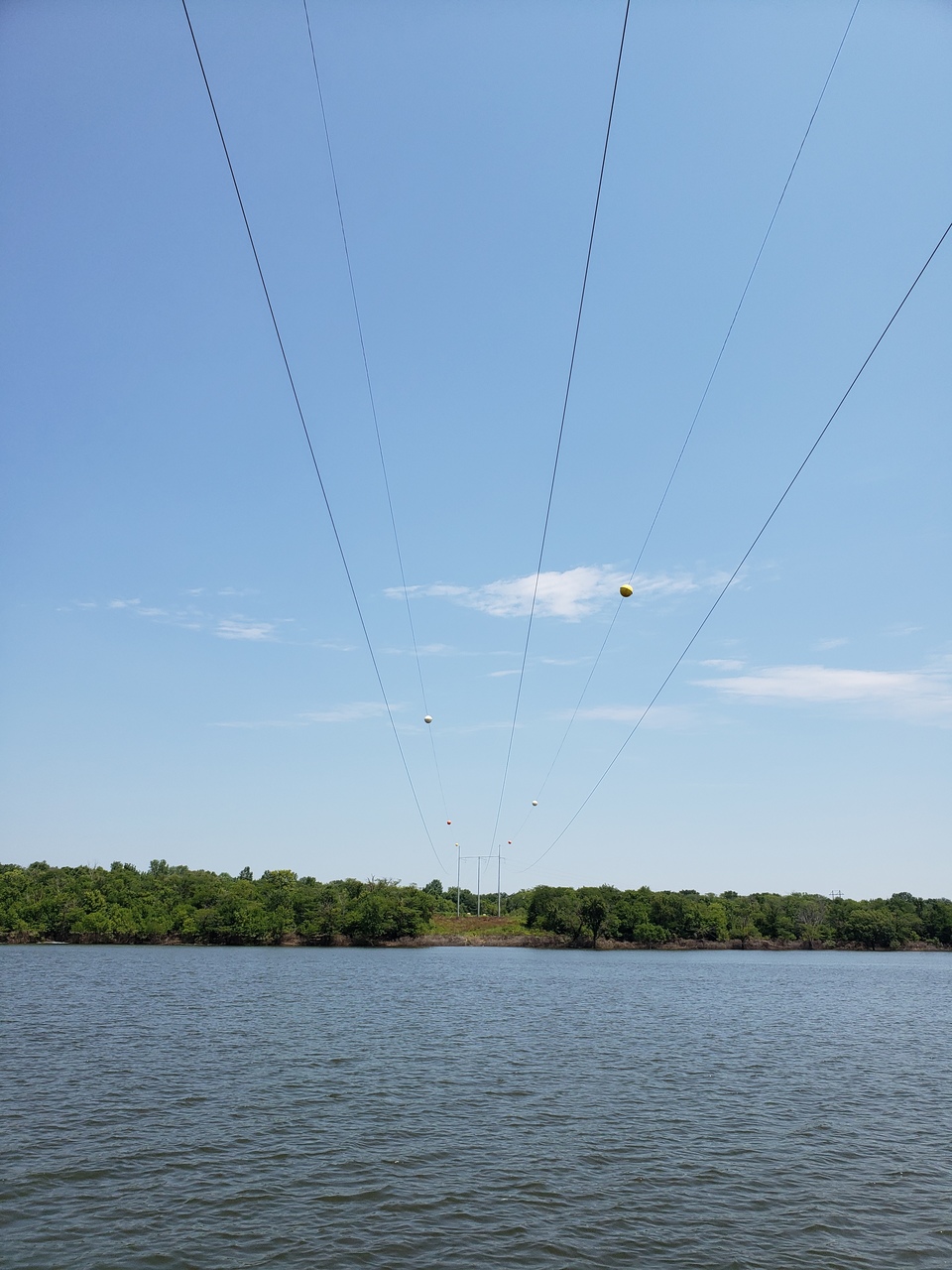 |
| "Balls in the Sky" |
After balls in the sky, you arrive at a large pooling area just before the high trestle bike bridge. This area is fairly nice and after the water starts to go down, it seems to remain pretty clean. We have done some tubing and skiing here in years past. Just beyond this pool, there is the iconic high trestle bridge that has been converted into an excellent pedestrian/bike bridge.
 |
| the high trestle bridge from the water |
The high trestle bridge is right next to the highway 210 bridge. Traveling underneath and looking up from the water is a unique perspective that you may not get to see again for a number of years.
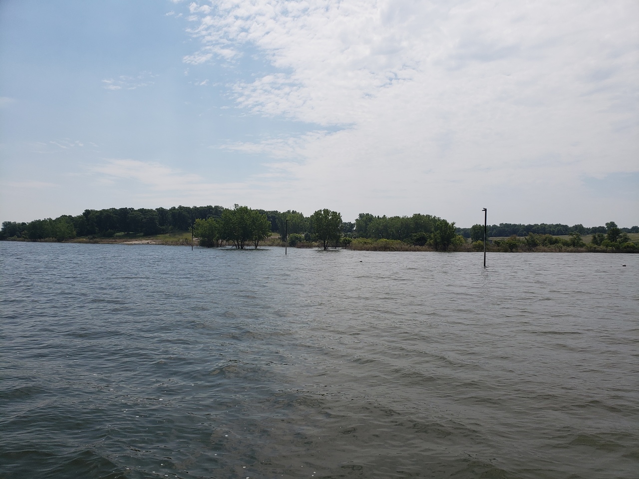
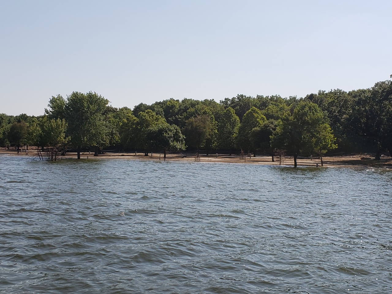
Heading north from here, the river winds around a bit and the channel meanders on either side of the valley in wide flat areas. The main channel is pretty easy to see, even with the high water though. Eventually you will come to the lower part of Ledges State Park. The picture shows a lot of the lower park is under water, and this is not uncommon for this part of the park. The river on the way to Ledges has vertical limestone cliffs, and the park is known for its hiking trails.
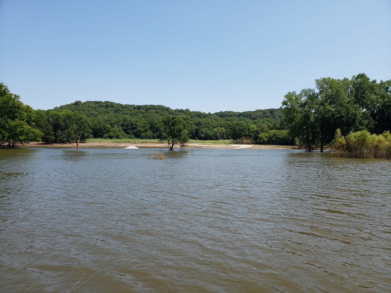 |
| Ledges State Park (under a lot of water) |
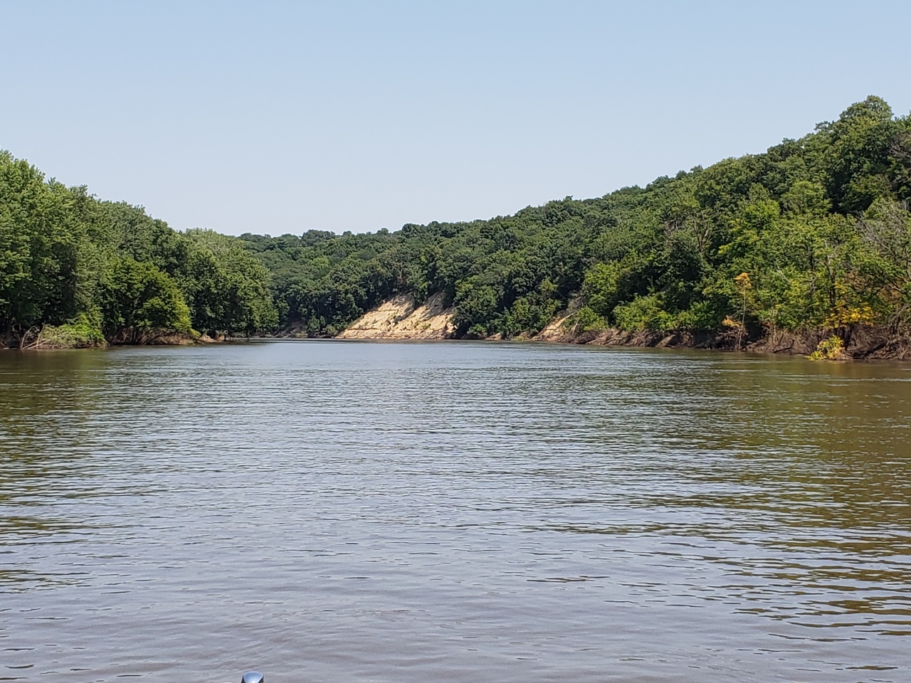
After Ledges State Park, the river narrows a little more and it is now clearly a single channel. This channel flows deep and faster due to how narrow it is. With the water at this level, we did a little drifting and the GPS was showing about 3.5 mph. The river is still quite deep with depths of 40-45 feet, even this far north.
This is a really beautiful part of the river with many rock walls, trees, large hills and a narrower channel. Keep your eyes open for the occasional bald eagle!
 |
| The journey north from Ledges State Park |
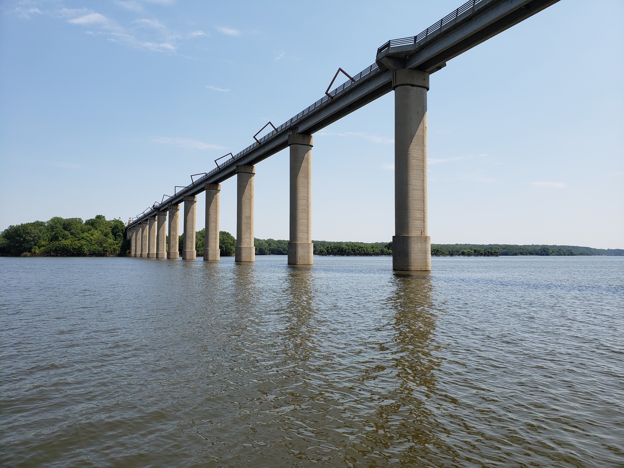
Along the way, just north of Ledges, you will come across a set of concrete piers from an old bridge across the river. What you might not know is these were part of the old railroad bridge that replaced the wooden bridge that Kate Shelley crawled across in the dark to save the passenger train on July 6, 1881. The wooden bridge is long gone, and even the replacement bridge is now history, but the piers remain to mark the actual spot. The tall bridge up river was built many years later.
 |
| The piers left that mark the spot of Kate's crossing |
 |
| Rock walls north of Ledges State Park |
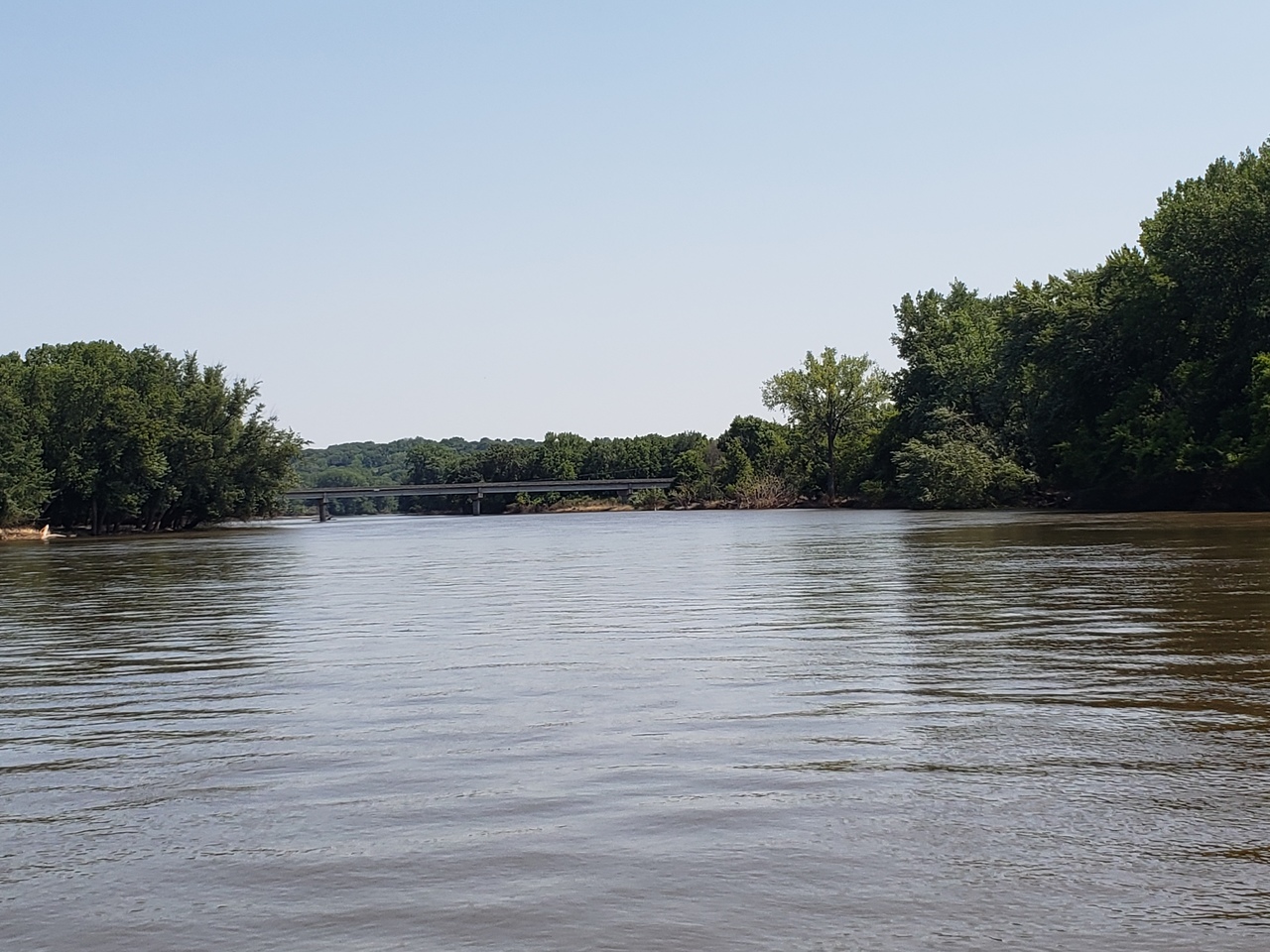
 |
| passing under the highway 30 bridges |
This really is an amazing part of the trip. Most people that I know turn back at this point, having accomplished something truly impressive. You, however are reading to to discover just how far we went, right? On north we go!
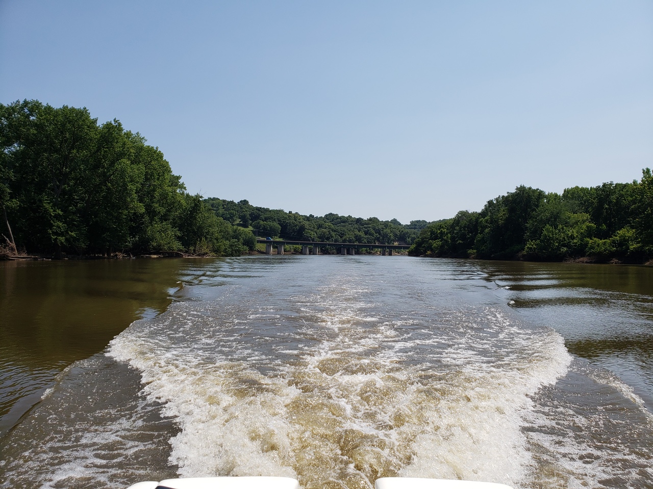 |
| traveling north from highway 30 |
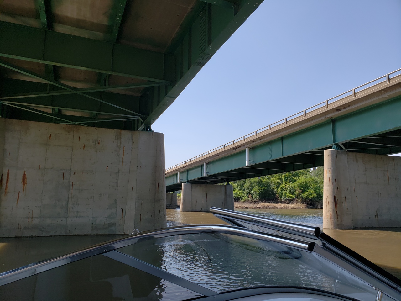
Next up, the old highway 30 bridge.
 |
| old Highway 30 bridge up ahead! |
Because the phrase "didn't happen without pictures" is a thing, here you go:
 |
| going under the old Highway 30 bridge NW of Boone |
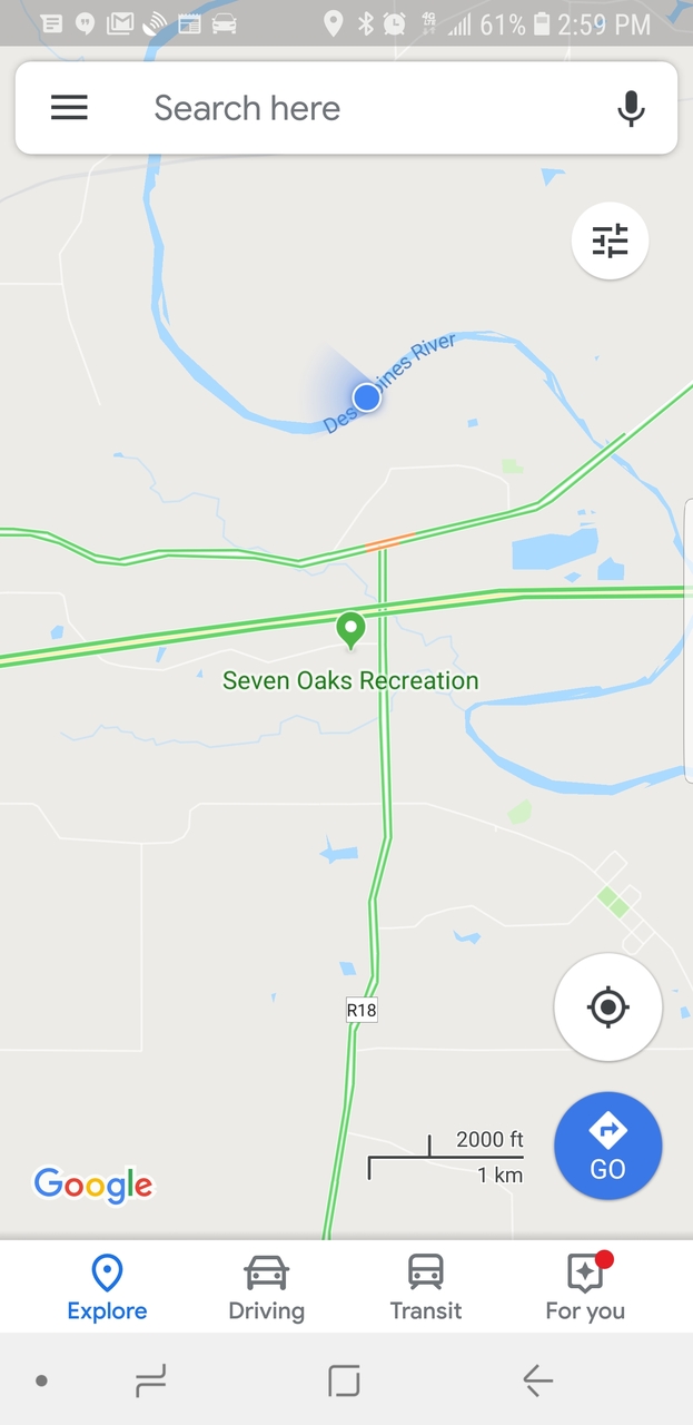
We could have kept going. Wait, we did keep going. Had we checked the map a little closer, the high bridge named after Kate Shelley was just around the next bend from where we turned back. It was getting later on a Sunday afternoon, so we decided to call it a day. A very fine day, and head back to the big water. Here is a GPS map of how far we made it. We are the blue dot on the river. Have you been here by boat? Let's hear from you in the comments!
 |
| Around that bend is the Kate Shelley high bridge |
 |
| heading... south |
The last picture is one of the Jester Park campground. The area we stayed just weeks prior to this trip was still under water. You can see the sites in the picture.
 |
| Jester Park lower campground area |
Thanks for reading, see you on the water!
Comments
Post a Comment